
From delivery routes to offsite meeting directions, there are places to go and many ways for businesses to get there.
No matter your destination, Google Maps is the dominant name in the directions space.
But no one likes being boxed into a corner. We all want alternatives, and Bing Maps is Microsoft's offering for the Google-averse.
Let's compare the features and peculiarities of Bing Maps to Google Maps to help you make the right choice for your business.
In this article, we discuss Bing Maps and Google Maps and their use for logistics businesses. If you would like to explore other options, Capterra's directory has may free route planning software options.
An introduction to Bing Maps
Bing Maps has been around since 2005, just not as Bing Maps. The original product was a continuation of Microsoft MapPoint—a basic mapping program—and TerraServer—Microsoft's collection of satellite images from the U.S. Geological Survey.
Today, the system offers a bird's-eye view, satellite imaging, and directions. The system is partially powered by HERE, which used to be called Navteq and was a Nokia property. It was sold to a collection of German car companies in 2015.
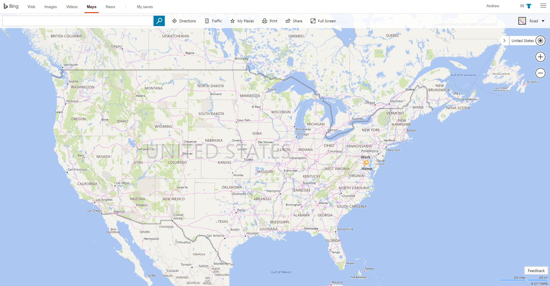
A view of the Continental U.S. in Bing Maps (Source)
Bing uses HERE for street data, pulling postal, imaging, and other data from a variety of third-party and proprietary sources. While Bing Maps leverages HERE, it doesn't offer some of the features that have made HERE a winner with enterprise customers (such as HERE's truck routing system).
It's worth noting that HERE doesn't update its map files very often, so your new business' address might not even be available on Bing yet. The good news is that you can use this handy updates site to see if/when a new version has dropped.
Bing does display traffic information. When users click on a traffic light icon in the system, it overlays traffic data and camera information for some cities.
Bing Maps' API
Interested in a Bing Maps mobile application, or looking to develop your own Bing-based map application? You'll want to know more about the application programming interface (API), then, and the first thing you need to know is that Bing's APIs aren't free.
If you're willing to shell out some dough, you can use their Spatial Data Services, fleet management services, and more. These are particularly useful for businesses that need to plan truck routing or perform geocaching for targeting goods transport.
It's worth noting that there's a developer preview of Bing SDK (software development kit) for Android and iOS as of May 2018, but Microsoft says use at your own risk. Essentially, Bing SDK provides map libraries for app builders to use in their projects, but it's still in development and kind of glitchy.
Also, you can't just decide to use Bing SDK; you have to have a verified app and go through Bing's development center to obtain approval.
An overview of Google Maps
Google Maps has also been around since 2005. The product used to rely on Topologically Integrated Geographic Encoding and Referencing (TIGER) data from the U.S. Census Bureau, but now pulls data from a number of sources, including Tele Atlas and MAPIT.
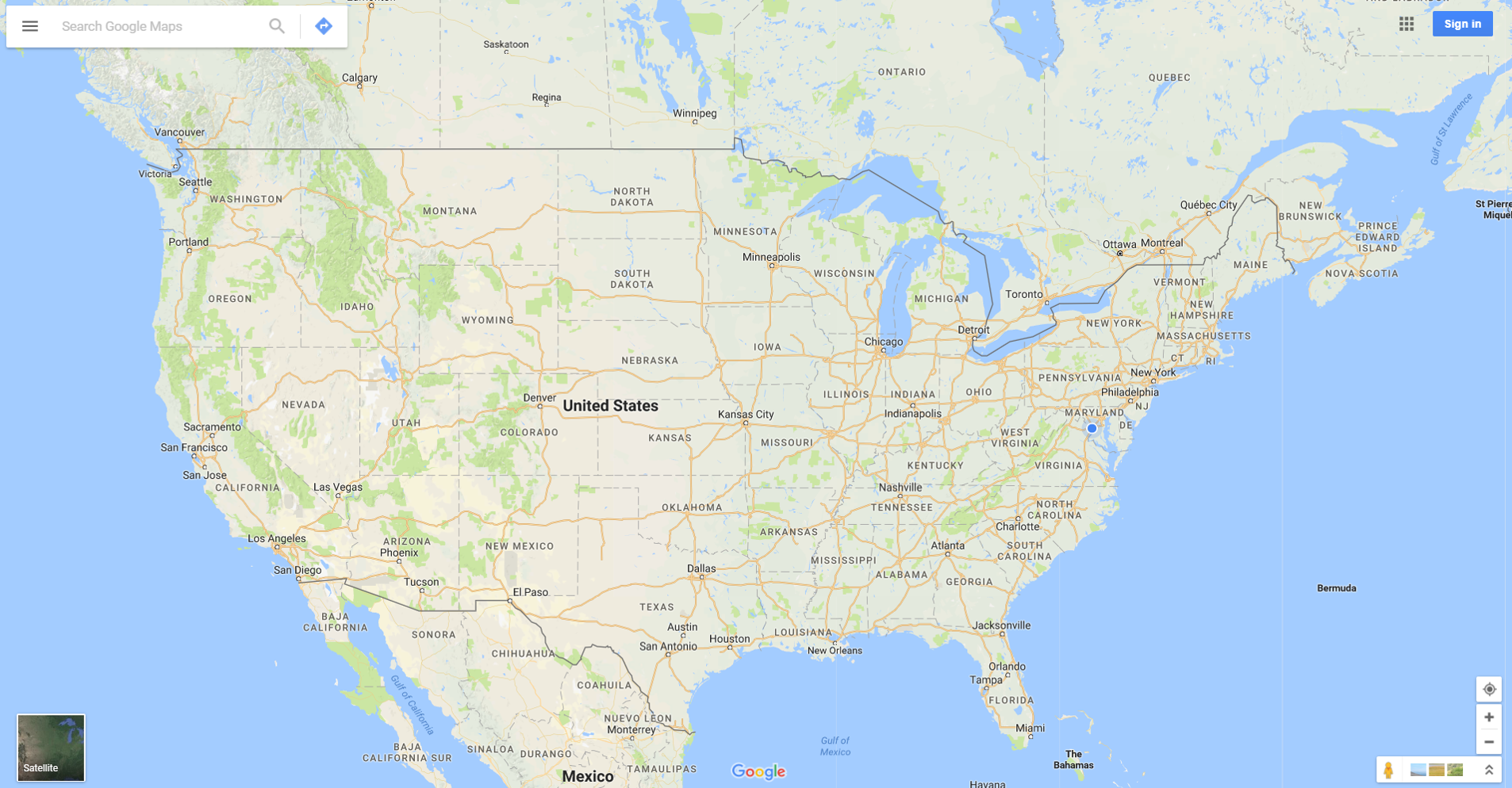
A view of the Continental U.S. in Google Maps. (Source)
More interestingly, Google pulls data from its own street view cameras to get on-the-ground information. Google's Map Team can pull street signs, turn lane signs, house numbers, and other details out of an image to improve existing maps. They're also using new machine learning and AI to fill in their data gaps.
Google partners with transit providers to capture real-time transit data and provide routing directions for public transportation. Google overlays traffic data, but doesn't include traffic camera information.
Google's Maps app is ubiquitous, especially on Android (where it comes as a stock installation on many devices).
Bing Maps vs. Google Maps: How they stack up in the ring
Here's how Bing and Google compare in the directions world.
When we checked the route and travel time to the Gartner office in Stamford, CT from the Capterra office in Arlington, VA, they dropped almost identical routes. Bing quoted 271.1 miles, while Google pitched 273 miles. The slight difference largely comes down to the way the maps have you navigate through the DC metro area.
The bigger difference comes in the timing. Google estimates the drive will take four hours and 57 minutes in “heavy traffic." Bing thinks it's going to take a whopping five hours and 44 minutes. That's a 47-minute difference, roughly 16% of Google's entire trip estimate.
Diatrom Enterprises said “[compared] to Google, Bing offers higher image resolution and better image quality" and Bing's “API is much friendlier and it's much easier to implement custom requirements using Bing's maps."
Of course, Google's mobile experience and massive collection of street-level images is a big win. Bing has plenty of street images but can't compete with Google's widespread coverage made possible by those goofy little Google Maps cars.
Which one is right for your business?
There are a lot of factors to consider.
First and foremost—do you need a mobile solution? If so, Google Maps wins out.
If you're planning directions from your desktop, however, you've got a real dilemma. If you're used to relying on the mobile app, it can be hard to switch away from Google for daily travel routes.
For preplanning a trip, though, check out Bing Maps. If you've got a touch-screen Windows PC, you can also play around with Ink, Microsoft's pen software. It integrates with maps and allows you to do things like annotate directions and check distances by simply drawing a line on your screen. It's good for giving directions to colleagues or clients who might need a little more than an address to navigate efficiently.
Your business needs will determine where you end up. If neither Bing nor Google sounds right, there are a few more specialized alternatives out there:
TomTom: A classic. TomTom has been in the business for ages and is considered a market leader in GPS devices. They have an app available for Android, but it looks like the iOS offering is being discontinued.
HERE WeGo: This app uses the same maps that support Bing's street mapping and is the closest thing to a Bing Maps app you can get. Available for Android and iOS.
MapQuest: No, MapQuest isn't dead (although you might not have used it since 2007). MapQuest offers an app with GPS, voice-guided navigation, real-time traffic updates, and transit planning. You can get the app on both Android and iOS.
Waze: Waze prides itself on crowdsourcing traffic information, giving up-to-the-minute accident, roadwork, and speed trap information. Available for Android and iOS.
If your business relies on directions to keep operations going , check out our roundup of GPS systems to help you pick the right option for your fleet. If you've already got the right GPS, double-check your fleet management software before heading off on your next route.